Petra Vogel · 29 September 2026
Regional Artists Draw on Archival Records to Examine Landscape Transformations in Residency Program
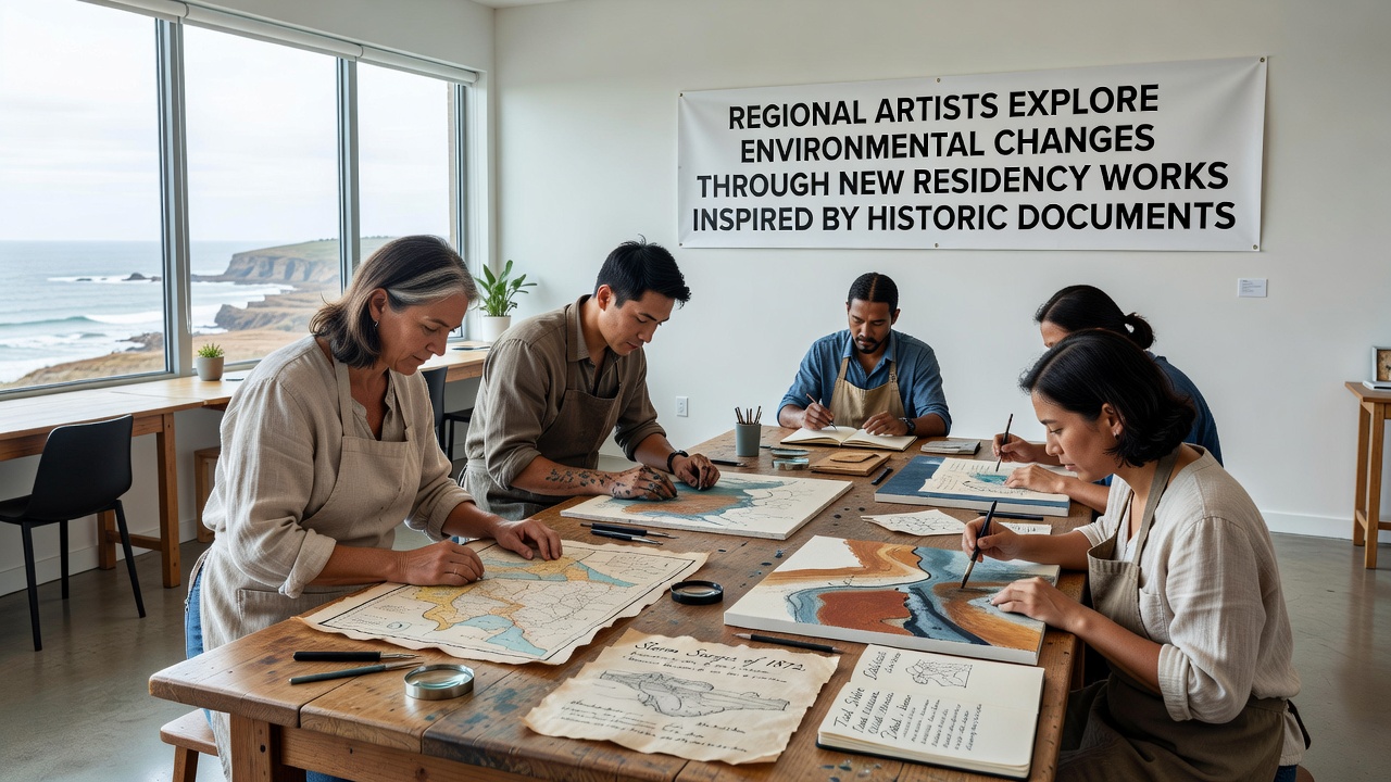
Regional artists participating in a new residency initiative combine 19th-century land surveys, settler journals, and meteorological logs with current field observations to create works that document alterations in local ecosystems, water flows, and vegetation patterns, and the program runs through multiple sites across the valley where participants access digitized collections from regional archives while conducting on-site studies.
Participants select documents such as 1870s boundary maps that record original river courses alongside present-day satellite imagery showing channel migrations, and they translate these comparisons into mixed-media installations that incorporate soil samples, pressed plant specimens, and annotated excerpts from daily weather entries kept by early farmers. The approach allows direct visual and material connections between past conditions and measurable changes recorded over the intervening decades, and several pieces incorporate audio recordings of interviews with descendants who recall specific flood events noted in the same historic ledgers.
Archival Sources and Field Integration
Residency organizers supply access to collections held by county historical societies and university libraries, where artists examine handwritten entries that list seasonal precipitation totals, timber harvests, and wildlife sightings from the 1880s onward. These records provide baseline data points that align with measurements collected by contemporary environmental monitoring stations, and artists cross-reference both sets to identify consistent trends in temperature ranges and species distribution. One participant constructed a series of cyanotype prints using plant materials gathered from locations identified in an 1892 botanical survey, overlaying the prints with transparent layers that display current biomass estimates derived from drone surveys conducted last spring.
September 2026 Exhibition Schedule
Works produced during the residencies will appear in a coordinated exhibition opening in September 2026 at three venues along the historic trade corridor, and the schedule includes guided walks that follow routes described in the same 19th-century documents used as source material. Attendees can compare original survey sketches displayed alongside finished artworks, while interactive stations allow visitors to overlay digital versions of historic maps with recent aerial photography. Organizers report that preliminary viewings attracted researchers from state environmental agencies who requested copies of the data visualizations embedded in several installations for use in public reports.
Collaborations with Research Institutions
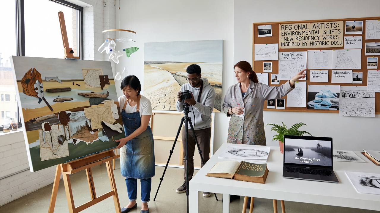
University departments of geography and environmental history supply technical support, including access to GIS software that converts handwritten field notes into layered maps, and artists receive training on interpreting these datasets before beginning their studio work. A partnership with the U.S. Environmental Protection Agency provides additional climate records spanning the past century, which participants integrate into time-based media pieces that project gradual shifts in seasonal patterns. Another collaboration links the residency with the European Environment Agency archive of comparative studies on land-use change, allowing artists to place local observations within broader continental contexts without leaving the region.
Material Choices and Presentation Methods
Artists select media that reflect the physical evidence they encounter, such as pigments derived from local clays mentioned in early mining logs or paper made from invasive species documented in recent ecological surveys. These choices produce tangible links between source documents and final objects, and several works incorporate movable elements that viewers can adjust to simulate the passage of time across the documented periods. Public programs scheduled alongside the September 2026 exhibitions feature demonstrations of these techniques, and participants explain how each material choice corresponds to specific entries in the historic collections.
Conclusion
The residency series establishes a continuing framework in which successive cohorts of artists build upon shared archival foundations while responding to updated environmental measurements, and the resulting body of work supplies visual and material records that complement quantitative reports produced by government and academic partners. Future cycles will expand the document pool to include mid-20th-century aerial photographs and oral histories collected during the 1970s, extending the timeline available for comparative study.